


Powering Advanced Ocean Monitoring with Reliable Satellite Connectivity
As the development of offshore infrastructure expands and ocean weather patterns become increasingly volatile, collecting real-time data from the world’s most challenging marine environments is more important than ever. From coastal waters to the open ocean, environmental monitoring buoys and autonomous systems provide valuable insights into weather conditions, wave activity, currents, and other ocean parameters. However, the collection, transmission, and analysis of this data depend on one key factor: reliable connectivity.
In remote marine environments, LTE and shore-based networks are often unavailable, creating significant operational risks. Without reliable communications, operators may be forced to revert to onboard data storage and manual retrieval methods, limiting real-time visibility.
Reliable Global Connectivity
MetOcean Telematics’ Iridium satellite solutions keep remote data buoys connected, with global ocean coverage. Used as either a primary communication method or as a fail-over for terrestrial networks, Iridium keeps mission-critical data flowing when visibility matters most.
Iridium provides several unique advantages for environmental monitoring applications, particularly during extreme weather events, when reliable data is most important. Operating in Low Earth Orbit (LEO), the Iridium satellite constellation delivers truly global maritime coverage, providing pole-to-pole connectivity and low-latency transmissions. By using L-band frequencies, Iridium communications are inherently more resilient to adverse weather conditions when compared to higher-frequency satellite systems.
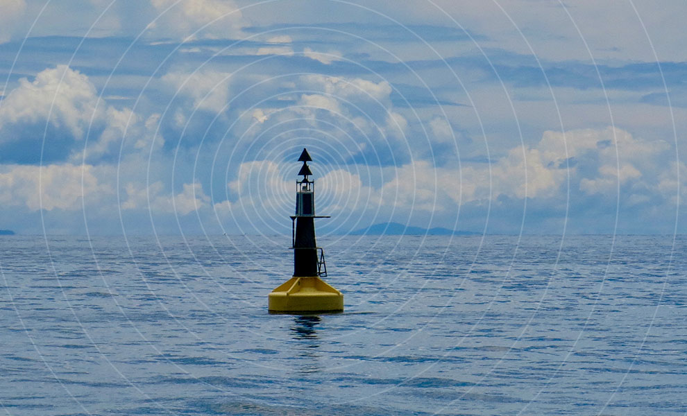
Monitoring the Oceans Beyond Cellular Coverage
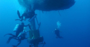
When equipped with an Iridium IoT device, monitoring buoys can transmit uninterrupted maritime data. This connectivity provides researchers and response teams with valuable insights into ocean conditions during severe weather events and changing marine environments.
For years, the ocean technology industry has relied on satellite-enables monitoring buoys to collect and transmit critical ocean weather, wave, and drift data from remote environments. These systems, and the information they gather, are widely used by offshore operators, researchers, forecasters, and environmental monitoring organizations to support safer and more informed marine operations.
By integrating satellite IoT capabilities into environmental monitoring systems, organizations can improve operational awareness, support safer decision making, and contribute to a better understanding of the world’s oceans.