


Environment
A long and successful history in the design and production of meteorological and oceanographic technology.
Our innovative products serve an integral role in ocean research and development. We provide a wide variety of buoys, beacons, flashers, and trackers for use in polar and ocean research. We routinely work with users to develop custom solutions that will enable you to easily meet your project goals.
Contact usWhy Choose Metocean?
Technological Expertise
Founded in 1984 by a group of engineers dedicated to science and oceanography, MetOcean Data Systems was a global leader in the design and deployment of integrated real-time monitoring systems that perform under the harshest conditions, pole-to-pole. Today, MetOcean Telematics specializes in the production of air-deployed and ship-deployed drifting buoys, search and rescue buoys, oil spill tracking buoys, ice platforms, and many other tracking and data collection tools. With a head office in Dartmouth, Nova Scotia, Canada, our engineers have access to the greatest test facility that cannot be replicated in any lab – the open ocean.
Decades of Experience
For over 30 years, our engineering expertise and manufacturing team have been supporting continuous data collection, system research, and development for both the military and commercial oceanographic markets. Our team understands the challenges of collecting data from the field and we build on our collective experience to work to meet the demands of each new project.
We are a truly full-service company. We design, build, test, and technically inspect all of our environmental equipment. Satellite offices around the globe are open and available to provide 24/7 customer and technical support. This is vital as you never know when you may require assistance during a deployment project. MetOcean Telematics is one of the very few oceanographic equipment companies that are ISO Quality certified.
Custom Deployments
If your research project has specialized requirements, we’re happy to work with you to develop a solution that meets them. Our engineers have successfully executed a large number of contracts involving the development and fabrication of unique, one-of-a-kind systems deployed throughout North America and around the world.
If you don’t see the functionality you require in the products listed on our website, contact our sales team—we’d love the chance to talk to you about developing a custom solution.
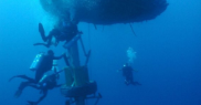
Wildlife Tracking
Discover the wild with MetOcean’s cutting-edge connectivity solutions. At the heart of our wildlife tracking devices lies the power of the Iridium Satellite Network, providing reliable and robust connection anywhere on the planet.
Whether your subjects roam the dense rainforests, traverse vast deserts, or navigate icy tundras, Iridium provides real-time data transmission, allowing you to monitor and understand wildlife behavior like never before.
Wildlife Tracking Solutions
NOVATECH Tracking and Monitoring
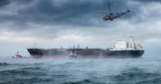
The oceans are deep, vast, and—for the most part—undiscovered. NOVATECH tracking and monitoring products are the lifeline and allow for recovery and tracking of assets in harsh ocean environments, for extended periods of time. With a variety of flashers, radio beacons, and satellite beacons, NOVATECH has effective options for submersible and surface applications.
All NOVATECH Tracking and Monitoring ProductsDrifting Buoys
MetOcean Telematics is a pioneer in current monitoring technology with the development of Iridium drifting buoys, combining our trusted brand with the capabilities of the powerful Iridium satellite network. Our current monitoring buoys are relied on throughout the world’s waters, and are an integral part of research and development on the ocean.
All Drifting Buoy Products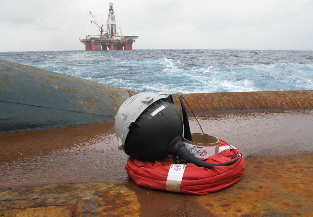
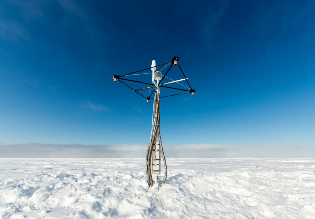
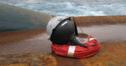
Polar Solutions
Our polar solutions are built to withstand the most volatile and unforgiving environments on this globe, enabling the collection of accurate data in areas that were once unreachable. We provide cost-effective, air and hand deployed solutions designed to maximize real-time data monitoring. Various configurations are available that respond to the unique and demanding needs of the polar industry.
View all Polar Solution ProductsVessel Tracking and Data Services
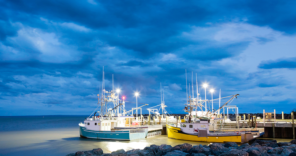
For commercial workboats and fishing vessels mandated to carry a Vessel Monitoring System (VMS) product, the MetOcean suite of vessel tracking solutions and data services provides a customized system that ensures regulatory compliance.
Vessel Tracking and Data Services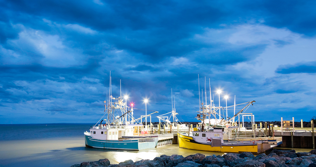
What our clients are saying
RS Aqua and MetOcean Telematics have worked collaboratively for >10 years. Our business values, attention to detail and focus on high-quality, high-performing technologies have always been aligned. We are delighted to have the MetOcean Telematics team supporting our success with UK and Ireland ocean tech markets, and look forward to many more years of growth and the further enablement of innovative science and exploration.
Martin Stemp
Managing Director, RS Aqua
MISAGO has been supporting young scientists’ resource development projects at JAMSTEC in Japan, by providing NOVATECH reliability to their dive projects. Young scientists have gathered great experience tracking and monitoring the dive with the Shinkai 6500 as well as other programs that are currently using MetOcean products. As a token of appreciation JAMSTEC have placed a MISAGO sticker on the hull of the Shinkai 6500’s hull.
MISAGO
Environment FAQ
Yes, by using the default configuration of 30 min GPS and SST acquisition, and hourly transmission of the
collected data the drifter will operate for approximately 4 months.
Yes, it uses 10 AA alkaline batteries, and we have a video available to assist with this procedure. Please reach out
to support@metocean.com to request it.
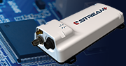
Yes, the Stokes has bi-directional communication capabilities made possible by the internal Iridium module.
When logged into our LiNC GPS tracking platform you can send new configurations at any time. Once the Stokes
transmits on its next interval it will receive and action the new configuration.
Yes, the Stokes has an internal accelerometer and an antenna on both sides. When the accelerometer senses it
has ‘flipped’ over it will use the antenna that is facing up allowing uninterrupted operation.
. The Stokes collects and transmits its GPS Location (within 100m actual) and Sea Surface Temperature (+0.25°C
(32.45°F) from -5°C (23°F) to 40°C (104°F))
Yes, this is possible if you have the newer iTrac II model and is performed by using the USB cable that comes with the
device while connected to a laptop computer running our iMailer software. This software can be downloaded from our
LiNC platform. There is an additional charge for this service so if you require more information, please reach out to our
Sales team at sales@metocean.com.
No, you are only charged for the number of days in the month that the iTrac is active, and the invoice is sent out the
following month. For example, an iTrac activated on October 15th would only be charged for 2 months of service in
October whereas an iTrac activated on October 1st would be charged for the whole month if it remained active until
October 31st. A $100 activation fee is charged for each activation and regardless of how long the device was active.
This depends on what interval you need your boat to report with, so you should check with DFO as this varies depending
on what zone(s) you are fishing in and what you will be fishing. The monthly cost varies from $69.99 to $199.99 with
transmissions ranging from 60 minutes to 5 minutes. Please reach out to our Sales team at sales@metocean.com for
more information
If you do not already have one, we can create a login for you for our LiNC platform, access to this platform will allow
you to request your vessel’s current position and review its trip history. There is no additional charge for this service,
and this can be accessed via the browser on your computer or smartphone. Please send your request for access to
support@metocean.com .
If you have an iTRAC1 the green LED light indicates power, and this should always be steady, as it being off means there is a power issue. The amber GPS LED and red Satellite LED will intermittently turn on when a position is being logged and transmitted. The iTRAC2 has an additional LED for indicating a message is waiting to be retrieved and once the iMailer software has read it, the message LED will turn off.