Stokes Drifter
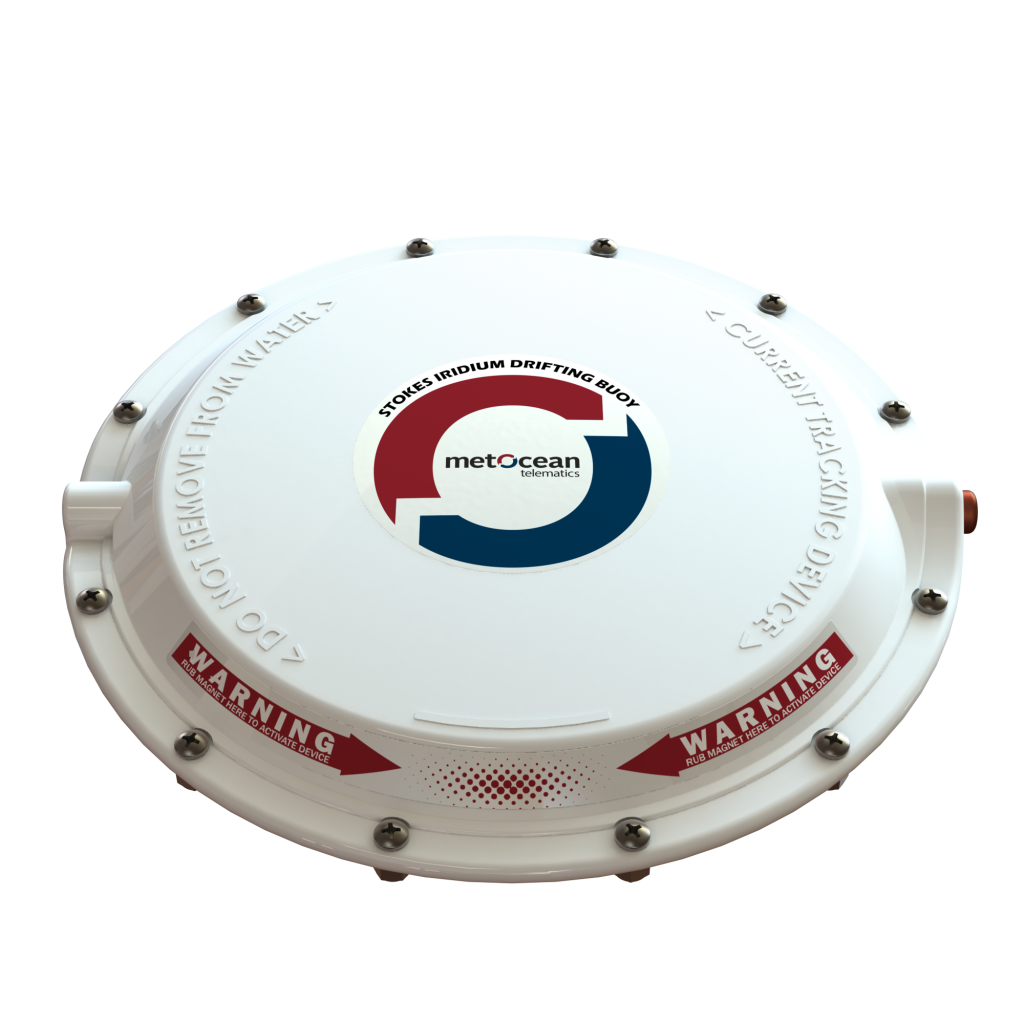
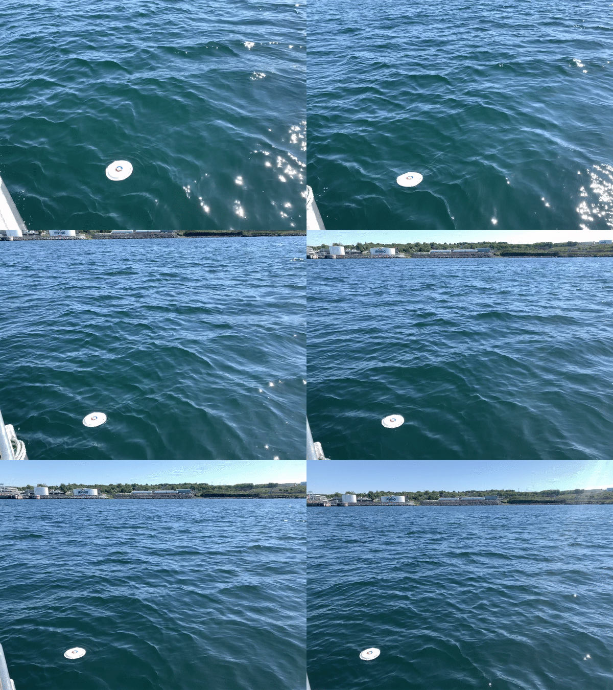
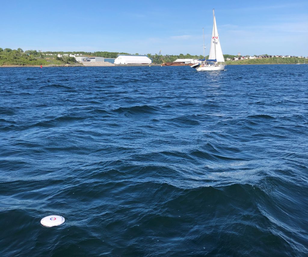
The Stokes Drifter is a revolutionary, compact drifting buoy that tracks currents at the ocean surface.
Request a quoteOverview

- Oil spill monitoring
- Plastic tracking
- Environmental monitoring
- Debris tracking
Use Cases:
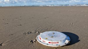
Using the Stokes Drifter to track plastics through the Wadden Sea
Using the Stokes Drifter to minimize the risk of losing a gillnet
- Detail
- Features
- Specs
- Downloads

Oil spill response and recovery.
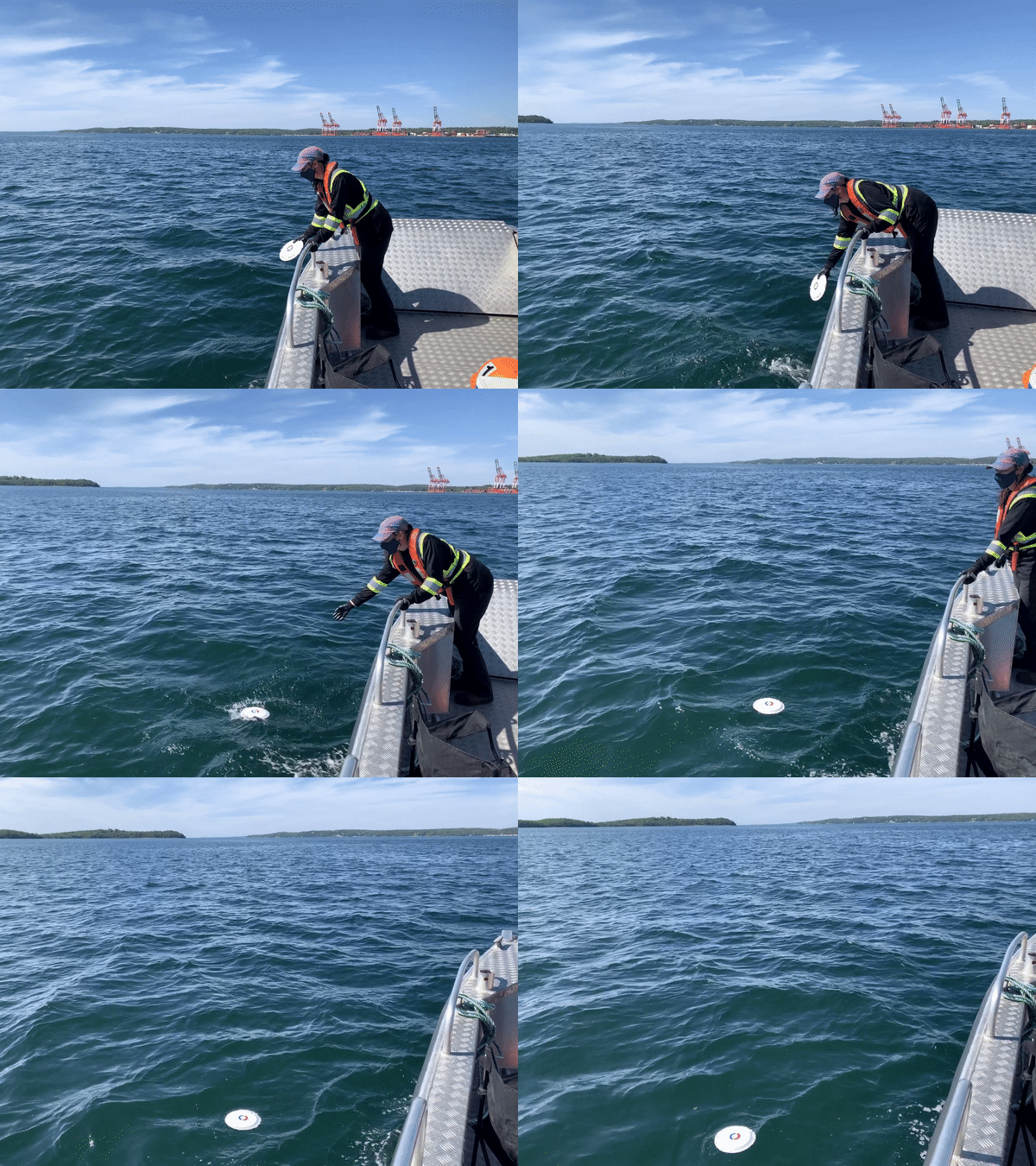
The Stokes Drifter is easy to use and deploy, making it ideal for oil spill response and recovery. By placing the activation magnet on the surface of the device, the buoy is activated and ready to be dropped into the water from a maximum height of 10 meters. Through surface current tracking, the buoy is able to model the direction of oil spills and use Iridium satellite telemetry to provide accurate, real-time data.
Iridium also allows the drifter to have bi-directional capabilities. This is a critical ability as the end-user can communicate with the unit by sending it a command to change reporting intervals or request essential time-sensitive data when it enters a region of interest.
Track assets on the ocean surface.
The Stokes Drifter can act as a positional marker for assets by providing real-time location data through Iridium satellite telemetry. The drifter’s GPS positioning feature means its location can be tracked anywhere in the world using MetOcean’s secure data management platform, LiNC.
 Monitor pollutants in the ocean.
The Stokes Drifter provides real-time tracking of biomaterials and plastics in open water (salt & fresh). Ridding the oceans of plastic starts with tracking it all down, and the drifter’s surface current tracking capabilities are ideal for monitoring contaminants on the ocean’s surface for effective cleanup.
• User-serviceable
• Low profile surface tracker
• Real-time and bi-directional data via Iridium satellite
The Stokes Drifter uses Iridium Short Burst Data (SBD) mode for transmitting data. The configuration of the Stokes Drifter may be changed using Over-The-Air (OTA) commands. These commands may be issued by MetOcean LiNC web-based platform or customized solutions could be developed.
Iridium is a network of commercial communication satellites in low earth orbit. Unlike geosynchronous satellites, Iridium satellites constantly move between the North and South poles, relaying connections from one satellite to the next. This configuration results in the most complete coverage of any satellite communications provider.
The Stokes Drifters are equipped with an Iridium 9603N transceiver that utilizes the Iridium Short Burst Data (SBD) service. Iridium SBD Service is an efficient network protocol designed for short sized data messages. SBD uses a proprietary network protocol to transfer data messages to and from the remote device.
Mechanical Specifications
Outer Diameter 24 cm
Height 4.1 cm
Weight 905 g
Power Consumption
Shelf Life 5-year shelf life (before battery replacement required)
Deployment Life Typical +4 months (1-hour sample interval and 2-hour reporting interval)
Battery 10 AA batteries (comes installed and replaceable)
Interfaces
Bluetooth BLE 5.0
Satellite Iridium SBD
GNSS +/- 2 meter accuracy.
Cold start fix < 45s
Internal Sensors
Temperature Sensor 0.25°C Accuracy (-5°C to 40°C)
Environmental
Operating Temperature -18°C to +55°C
Storage Temperature -40°C to +50°C
Ingress IP68
Test Approvals IEC 60945 Section 8.5 (Thermal Shock), SAE J1455 Thermal Cycling, SAE J1455 Section 4.9.3 (Low Pressure), SAE J1455 Temperature Cycling
Regulatory Approvals
IC (ISED)
EC
FCC


